PAI WHENUA
  • Home
  • Expertise
    • Geotechnical Investigation
    • Engineering Geology
    • Geotechnical
    • Project Management
  • About
  • Contact

Engineering Geology

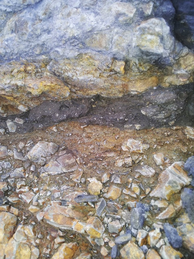
Our engineering geologists utilize geological and geomorphological mapping, interpret aerial photographs, conduct rock face assessments, outcrop mapping, and employ various other investigative techniques to create a geological or geotechnical ground model of a site. The data is analyzed to form recommendations for specific hazards or the development proposed.

Our Engineering Geologists are Chartered Professionals (PEngGeoL) with experience in New Zealand and Australia working to both regulatory standards.  
​
Engineering geologists services;
  • Assessment of geological and geotechnical hazards including remediation solutions for natural, and anthropogenically induced hazards 
  • Engineering geological and geomorphological mapping
  • Landslide and slope stability
  • Erosion, flooding, dewatering, runoff assessments
  • Rock face and defect mapping
  • Cliff stability studies
  • Hydrogeological studies
  • Seismic investigations and liquefaction assessments
  • Dispersal field and effluent system assessments
Picture
Picture
Picture
Picture
  • Home
  • Expertise
    • Geotechnical Investigation
    • Engineering Geology
    • Geotechnical
    • Project Management
  • About
  • Contact